Login
Usuarios estrella
Encuesta
Inicio
>
Estados Unidos de América
>
Kansas
>
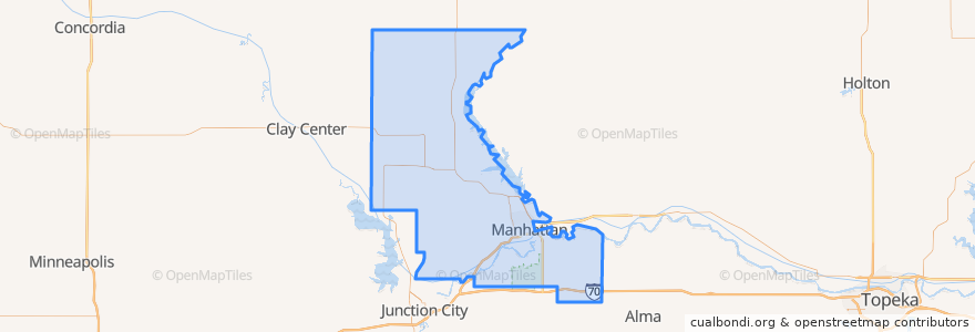
Riley County
Riley County
Ver en mapa interactivo
Recorridos de transporte público
Bluemont EB
Bluemont WB
Freemont/Osage EB
Freemont/Osage WB
Jardine
Orange Northbound
Orange Southbound
Lugares
Manhattan
(7)
Fort Riley-Camp Whiteside
(0)
Fort Riley North
(0)
Leonardville
(0)
Ogden
(0)
Randolph
(0)
Riley
(0)
Paradas
Kramer
Jardine (Tunstall)
Derby
Puntos de interés
The Goose Restaurant
Tallgrass Taphouse
Arrow Coffe
Ogden
CoreFirst Bank & Trust
Kansas State Post Office
Mojo's Beach Bar
Via Christi Therapy Center
Qdoba
Calios
Gordo's Restaurante Mexicano
Pretzelmaker
Fat's Bar
Seventh Day Adventist Church
United Bank & Trust
Riley County Police Department Aggieville Substation
Radina's Coffeehouse & Roastery
K-Stat Urgent Care
Phoenix Car Wash
Tasty China House
Green Tea Sushi Bar
The UPS Store
Cat Tracks Grill and Bar
Applebee's
Hunam Express
Wine Dive + Ktichen
The Salvation Army Worship Center
Buffalo Wild Wings
Pizza Shuttle
KwikShop