Accesso
Utenti preferiti
Sondaggio
Homepage
>
Stati Uniti d'America
>
Kansas
>
Riley County
>
Manhattan
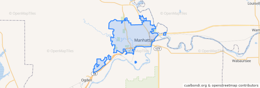
Manhattan
Visualizza nella mappa interattiva
Percorsi di trasporto pubblico
Bluemont EB
Bluemont WB
Freemont/Osage EB
Freemont/Osage WB
Jardine
Orange Northbound
Orange Southbound
Fermate
Derby
Kramer
Jardine (Tunstall)
Punti di interesse
KwikShop
The Plastic Surgery Clinic
Panda Express
Subway
Aggieville Lounge
Arrow Coffe
K+STAT Urgent Care
della Voce
Gordo's Restaurante Mexicano
Little Caesars
Throwback Tavern
Tallgrass Taphouse
Firehouse Subs
Radina's Coffee
Wine Dive + Ktichen
Applebee's
The Salvation Army Worship Center
Bourbon and Baker
Noodles & Company
Subway
Legends Sports Eats Drinks
Radina's Coffee
MamaDeaux's Cajun & Creole Cafe
Early Edition
Hunam Express
The Goose Restaurant
Commerce Bank
Riley County Police Department Aggieville Substation
The Chef
Hy-Vee Fuel