로그인
스타 사용자
투표
홈페이지
>
미국
>
캔자스
>
Riley County
>
Manhattan
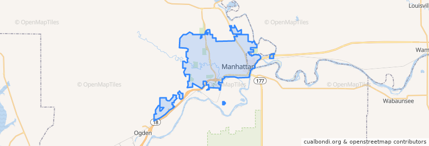
Manhattan
대화식지도에서보기
대중 교통 경로
Bluemont EB
Bluemont WB
Freemont/Osage EB
Freemont/Osage WB
Jardine
Orange Northbound
Orange Southbound
버스 정류장
Jardine (Tunstall)
Derby
Kramer
가볼만한 곳
Health Mart
Calios
The Goose Restaurant
Buffalo Wild Wings
KwikShop
Harry's
Bidwell Family Fountain
della Voce
Legends Sports Eats Drinks
Chick-fil-A
Manhattan
Navy Federal Credit Union
Tallgrass Taphouse
Fat Shack
The Lofts on Twelfth Steet
Firehouse Subs
Pretzelmaker
Pizza Shuttle
Seventh Day Adventist Church
K+STAT Urgent Care
Subway
Olive Garden Bike Rack
United Bank & Trust
Early Edition
Manhattan Dental
Commerce Bank
Long John Silver's
Blue Moose Bar & Grill
Walgreens
Cat Tracks Grill and Bar