Login
Star users
Poll
Home
>
United States
>
Kansas
>
Riley County
>
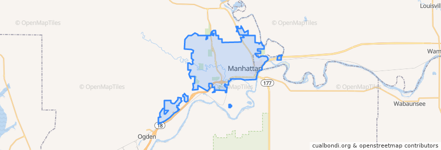
Manhattan
Manhattan
See in interactive map
Routes of public transport
Bluemont EB
Bluemont WB
Freemont/Osage EB
Freemont/Osage WB
Jardine
Orange Northbound
Orange Southbound
Stops
Jardine (Tunstall)
Derby
Kramer
Points of interest
Health Mart
The Eye Doctors
Navy Federal Credit Union
Just Salad
Walgreens
Radina's Coffeehouse & Roastery
Mojo's Beach Bar
Tindall Orthodontics
Harry's
Panda Express
The Chef
Commerce Bank
Qdoba
Early Edition
Shell
KwikShop
Seventh Day Adventist Church
Dillons Gas Station
Powercat Sports Grill
Johnny Kaw's Sports Bar
Riley County Police Department Aggieville Substation
Finn's Pub
Bourbon and Baker
Aggieville Lounge
Tallgrass Taphouse
Pizza Shuttle
Gordo's Restaurante Mexicano
Arrow Coffe
Shot Stop
Little Caesars