Log masuk
Pengguna bintang
Undian
Laman utama
>
Amerika Syarikat
>
Kansas
>
Riley County
>
Manhattan
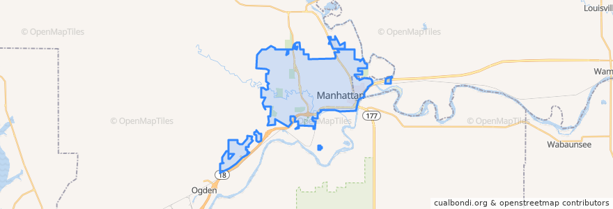
Manhattan
Lihat di peta interaktif
Laluan pengangkutan awam
Bluemont EB
Bluemont WB
Freemont/Osage EB
Freemont/Osage WB
Jardine
Orange Northbound
Orange Southbound
Perhentian
Derby
Jardine (Tunstall)
Kramer
Tempat menarik
The Goose
KwikShop
E. Hamrick Swan Family Dentistry
Radina's Coffee House and Roastery
Via Christi Therapy Center
The Eye Doctors
Bourbon and Baker
Tate's on Moro
Goodcents Subs & Pasta
Commerce Bank
Chick-fil-A
Max Bodyworks
Dillons Gas Station
Powercat Sports Grill
Marinello School of Beauty
Radina's Coffee
Manko Bike Parking
Manhattan Foot Specialists, PA
Subway
United Bank & Trust
Long John Silver's
Manhattan
Aggieville Lounge
Bidwell Family Fountain
Radina's Coffeehouse & Roastery
Umi Japanese Steak House & Sushi
Qdoba
The Lofts on Twelfth Steet
Varsity Donuts Food Truck
Green Tea Sushi Bar