Login
Star users
Poll
Home
>
United States
>
Nevada
>
Clark County
>
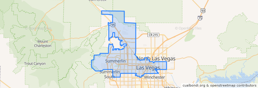
Las Vegas
Las Vegas
See in interactive map
Routes of public transport
Downtown Loop
Flixbus 2009: Las Vegas/Henderson => Los Angeles
Flixbus 2009: Las Vegas/Henderson => Los Angeles/Anaheim
Flixbus 2009: Los Angeles/Anaheim => Las Vegas/Henderson
Flixbus 2009: Los Angeles => Las Vegas/Henderson
Flixbus 2016: Las Vegas => San Diego
Flixbus 2016: San Diego => Las Vegas
Flixbus N2008: Las Vegas => San Francisco
Flixbus N2008: San Francisco => Las Vegas
RTC 219 Craig
RTC Deuce on the Strip
Stops
FlixBus Las Vegas Downtown
Oakey
Saint Louis
Las Vegas Blvd @ 4th St.
Carson @ Casino Center Blvd.
4th St. @ Las Vegas Blvd.
Las Vegas @ Stratosphere (N)
Las Vegas Blvd @ Hoover
Oakey Blvd.
Charleston
FlixBus Las Vegas Downtown
Garces - Transit Center
-115.154583, 36.148201900000004
-115.15100760000001, 36.1599487
19
Points of interest
U.S. Bank
McCall’s Heartland Grill
SNICKS
Tammyland
Roxy's Diner
Waffelato
First Christian Church Child Development Center
Artifice
Dunkin' Donuts
City of Las Vegas Fire Station Number 1
Vanguard Lounge
Vic & Anthony's
Oscar's
Oak and Ivy Whiskey Bar
Radio City Pizza
Post Office
La Comida
D Grill
Clark County Christian School
Heart Attack Grill
Circle K
paseo luces
McDonald's
Red Sushi
Three Sheets
Panera Bread
Tesla Supercharger
CLAY ARTS VEGAS
Arizona College - Las Vegas
Full Gospel Deliverance Church