로그인
스타 사용자
투표
홈페이지
>
미국
>
네바다
>
Clark County
>
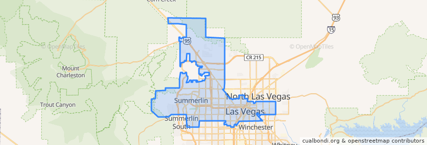
Las Vegas
Las Vegas
대화식지도에서보기
대중 교통 경로
Downtown Loop
Flixbus 2009: Las Vegas/Henderson => Los Angeles
Flixbus 2009: Las Vegas/Henderson => Los Angeles/Anaheim
Flixbus 2009: Los Angeles/Anaheim => Las Vegas/Henderson
Flixbus 2009: Los Angeles => Las Vegas/Henderson
Flixbus 2016: Las Vegas => San Diego
Flixbus 2016: San Diego => Las Vegas
Flixbus N2008: Las Vegas => San Francisco
Flixbus N2008: San Francisco => Las Vegas
RTC 219 Craig
RTC Deuce on the Strip
버스 정류장
Las Vegas @ Stratosphere (N)
Oakey Blvd.
Saint Louis
Las Vegas Blvd @ 4th St.
19
Garces - Transit Center
Las Vegas Blvd @ Hoover
-115.154583, 36.148201900000004
-115.15100760000001, 36.1599487
Charleston
FlixBus Las Vegas Downtown
Carson @ Casino Center Blvd.
Oakey
FlixBus Las Vegas Downtown
4th St. @ Las Vegas Blvd.
가볼만한 곳
The box office
Garden Court Buffet
First Presbyterian Church
The Goodwich
Clark County Parking Garage
Chick-fil-A
Clark County Operations Center
Arco
Andiamo Italian Steakhouse
CLAY ARTS VEGAS
La Comida
Nevada Parole and Probation
Starbucks
eat.
3rd & Hoover Bike Share
El Gaucho Luca Cafe
Fellini’s Ristorante Italiano
Zappos Bike Share
Backstage Bar & Billiards
City Hall Bike Share
CBar
6th & Carson Bike Share
Calvary Chapel of Lone Mountain
Stewart & 3rd BikeShare
7th & Carson
Beauty Bar
Topless Cabarat
Uncle Joe's
Walgreens
Top of The World