وارد شدن
کاربران ستاره
نظرسنجی
شروع
>
ایالات متحده آمریکا
>
نوادا
>
Clark County
>
Las Vegas
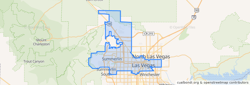
Las Vegas
در نقشه تعاملی مشاهده کنید
مسیرهای حمل و نقل عمومی
Downtown Loop
Flixbus 2009: Las Vegas/Henderson => Los Angeles
Flixbus 2009: Las Vegas/Henderson => Los Angeles/Anaheim
Flixbus 2009: Los Angeles/Anaheim => Las Vegas/Henderson
Flixbus 2009: Los Angeles => Las Vegas/Henderson
Flixbus 2016: Las Vegas => San Diego
Flixbus 2016: San Diego => Las Vegas
Flixbus N2008: Las Vegas => San Francisco
Flixbus N2008: San Francisco => Las Vegas
RTC 219 Craig
RTC Deuce on the Strip
ایستگاه
Garces - Transit Center
Saint Louis
Las Vegas Blvd @ Hoover
Oakey Blvd.
Charleston
Las Vegas Blvd @ 4th St.
FlixBus Las Vegas Downtown
Oakey
Carson @ Casino Center Blvd.
Las Vegas @ Stratosphere (N)
19
4th St. @ Las Vegas Blvd.
FlixBus Las Vegas Downtown
-115.154583, 36.148201900000004
-115.15100760000001, 36.1599487
نقاط مورد علاقه
Draft House
U.S. Bank
Nevada Parole and Probation
Radio City Pizza
Bar + Bistro
Chick-fil-A
Center for Sight
Aztec Inn Casino
Essence cannabis dispensary
Wendy's
Garces Bike Share
Destiny Christian Center
Makers & Finders
Makers & Finders
3rd & Bonnevillle Bike Share
Greyhound
Starbucks
Boston Pizza
D Grill
McDonald's
Container Park Bike Share
Mob Bar
The Goodwich
Fellini’s Ristorante Italiano
Premium Outlets Bike Share
Vic & Anthony's
Don't Tell Mama
The box office
Zappos Bike Share
Three Sheets