Accesso
Utenti preferiti
Sondaggio
Homepage
>
Stati Uniti d'America
>
Nevada
>
Clark County
>
Las Vegas
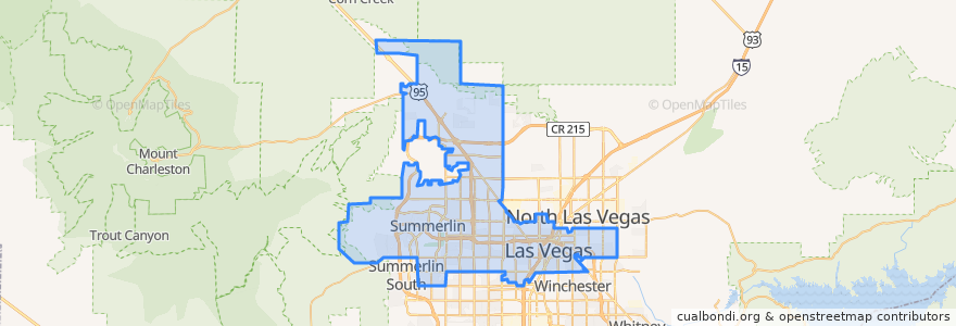
Las Vegas
Visualizza nella mappa interattiva
Percorsi di trasporto pubblico
Downtown Loop
Flixbus 2009: Las Vegas/Henderson => Los Angeles
Flixbus 2009: Las Vegas/Henderson => Los Angeles/Anaheim
Flixbus 2009: Los Angeles/Anaheim => Las Vegas/Henderson
Flixbus 2009: Los Angeles => Las Vegas/Henderson
Flixbus 2016: Las Vegas => San Diego
Flixbus 2016: San Diego => Las Vegas
Flixbus N2008: Las Vegas => San Francisco
Flixbus N2008: San Francisco => Las Vegas
RTC 219 Craig
RTC Deuce on the Strip
Fermate
19
Saint Louis
FlixBus Las Vegas Downtown
4th St. @ Las Vegas Blvd.
Las Vegas Blvd @ 4th St.
Las Vegas Blvd @ Hoover
-115.154583, 36.148201900000004
-115.15100760000001, 36.1599487
Oakey Blvd.
Garces - Transit Center
FlixBus Las Vegas Downtown
Carson @ Casino Center Blvd.
Charleston
Oakey
Las Vegas @ Stratosphere (N)
Punti di interesse
Arizona College - Las Vegas
Island Sushi & Hawaiian Grill
Re-New Recycling
Backstage Bar & Billiards
RoboCoin BitCoin ATM Exchange Kiosk
Artifice
Chapel of the Bells
Las Vegas
El Sombrero Mexican Bistro
Little Vegas Chapel
Carson Street Cafe
Wine Room
Las Vegas Christian Center
eat.
McDonald's
Top of The World Stratosphere Hotel terraza atracciones
Three Sheets
6th & Carson Bike Share
Iglesia Internacional de las Vegas
D Bar
Theatre 7
Panera Bread
American Coney Island
Casa Don Juan
Carl's Jr.
Comunidad Cristiana de las Vegas
Waffelato
Hop Nuts Brewing
Full Gospel Deliverance Church
First Church of Christ Scientist