Login
Star users
Poll
Home
>
United States
>
Nevada
>
Clark County
>
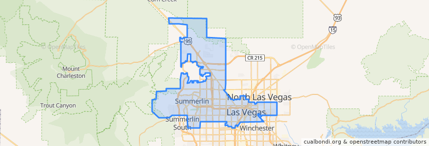
Las Vegas
Las Vegas
See in interactive map
Routes of public transport
Downtown Loop
Flixbus 2009: Las Vegas/Henderson => Los Angeles
Flixbus 2009: Las Vegas/Henderson => Los Angeles/Anaheim
Flixbus 2009: Los Angeles/Anaheim => Las Vegas/Henderson
Flixbus 2009: Los Angeles => Las Vegas/Henderson
Flixbus 2016: Las Vegas => San Diego
Flixbus 2016: San Diego => Las Vegas
Flixbus N2008: Las Vegas => San Francisco
Flixbus N2008: San Francisco => Las Vegas
RTC 219 Craig
RTC Deuce on the Strip
Stops
4th St. @ Las Vegas Blvd.
19
-115.15100760000001, 36.1599487
Las Vegas Blvd @ 4th St.
Las Vegas Blvd @ Hoover
Saint Louis
Garces - Transit Center
Carson @ Casino Center Blvd.
Oakey
FlixBus Las Vegas Downtown
-115.154583, 36.148201900000004
Charleston
Oakey Blvd.
Las Vegas @ Stratosphere (N)
FlixBus Las Vegas Downtown
Points of interest
Horizon Health and Rehabilitation Center
Wine Room
Visions of Faith Church
Wolfson Medical Center
Las Vegas
Rick's Rollin Smoke BBQ & Tavern
Graceland Wedding Chapel
eat.
3rd & Bonnevillle Bike Share
Arco
City of Las Vegas Fire Station Number 9
City Hall Bike Share
Davy's
McDonald's
4th & Bridger Bike Share
Oak and Ivy Whiskey Bar
Denny's
McCall’s Heartland Grill
Re-New Recycling
Premium Outlets Bike Share
Imagination Plus Child Care Center
Tammyland
IHOP
Park on Fremont
Walgreens
Uncle Joe's
Vic & Anthony's
Chapel of the Bells
El Sombrero Mexican Bistro
Nunzio Pizzaria