تسجيل الدخول
مستخدمي ستار
تصويت
الصفحة الرئيسية
>
الولايات المتّحدة الأمريكيّة
>
يوتا
>
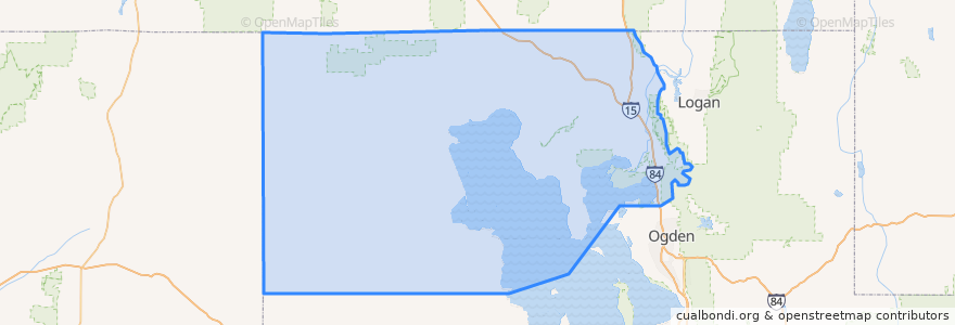
Box Elder County
Box Elder County
انظر في الخريطة التفاعلية
طرق النقل العام
UTA Route 630 Brigham City/Ogden (to Brigham City)
UTA Route 630 Brigham City/Ogden (to Ogden)
UTA Route F638 Brigham City/Willard Flex
أماكن
Brigham City
(3)
Perry
(2)
Willard
(2)
Bear River City
(0)
Corinne
(0)
Deweyville
(0)
Elwood
(0)
Fielding
(0)
Garland
(0)
Honeyville
(0)
Howell
(0)
Mantua
(0)
Plymouth
(0)
Portage
(0)
Snowville
(0)
Tremonton
(0)
مجالات الاهتمام
Willard School
The Church of Jesus Christ of Latter-day Saints
Little Caesars
Mantua
Brigham City Bible Church
Plymouth
Snowville
Community Presbyterian Church
China Hua guan
Costa Vida Fresh Mexican Grill
The Church of Jesus Christ of Latter-day Saints
Corinne
The Church of Jesus Christ of Latter-day Saints
Brigham City Hall
The Church of Jesus Christ of Latter-day Saints
The Church of Jesus Christ of Latter-day Saints
Maddox Family Drive-In
Bridgerland College of Cosmetology
The Church of Jesus Christ of Latter-day Saints
The Church of Jesus Christ of Latter-day Saints
Christian Reformed Church
The Lodge
Maddox Ranch House
Honeyville
Tremonton
La Hermosa Assembly
Rose A. Young Elementary at Three Mile Creek
Lincoln School
Hunan Village
Maddox Take Out Cabin