Oturum aç
Yıldız kullanıcılar
Anket
anasayfa
>
Amerika Birleşik Devletleri
>
Utah
>
Box Elder County
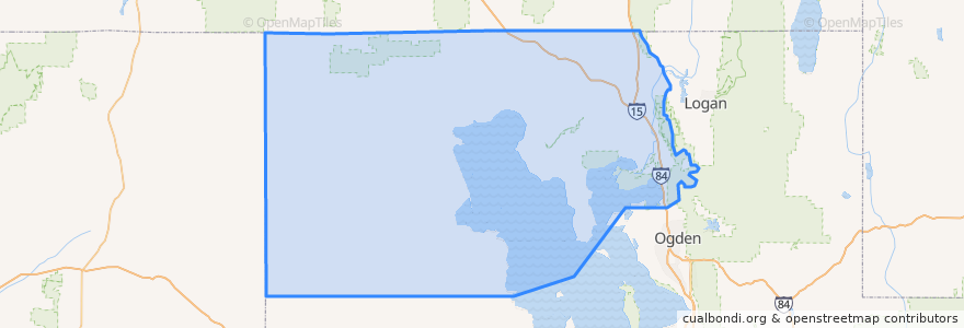
Box Elder County
Etkileşimli haritada görüntüle
Toplu taşıma yolları
UTA Route 630 Brigham City/Ogden (to Brigham City)
UTA Route 630 Brigham City/Ogden (to Ogden)
UTA Route F638 Brigham City/Willard Flex
Yerler
Brigham City
(3)
Perry
(2)
Willard
(2)
Bear River City
(0)
Corinne
(0)
Deweyville
(0)
Elwood
(0)
Fielding
(0)
Garland
(0)
Honeyville
(0)
Howell
(0)
Mantua
(0)
Plymouth
(0)
Portage
(0)
Snowville
(0)
Tremonton
(0)
İlgi noktaları
Honeyville
Brigham City Hall
Howell
Mantua
Perry
Box Elder County
The Church of Jesus Christ of Latter-day Saints
Brigham City Bible Church
The Church of Jesus Christ of Latter-day Saints
Corinne
The Church of Jesus Christ of Latter-day Saints
Bridgerland College of Cosmetology
El Toro Viejo
China Hua guan
Fielding
Maddox Take Out Cabin
Tremonton
The Church of Jesus Christ of Latter-day Saints
Aldersgate United Methodist Church
Brigham City Museum
Maddox Ranch House
The Church of Jesus Christ of Latter-day Saints
Bridgerland Applied Technology College
Asemblea de Dios
The Frozen Udder
VFW Post
Plymouth
Church of Christ
Firehouse Pizza
Saint Michaels Episcopal Church