Anmelden
Star-Benutzer
Umfrage
Startseite
>
Vereinigte Staaten von Amerika
>
Utah
>
Box Elder County
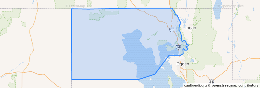
Box Elder County
Siehe in der interaktiven Karte
Routen des öffentlichen Verkehrs
UTA Route 630 Brigham City/Ogden (to Brigham City)
UTA Route 630 Brigham City/Ogden (to Ogden)
UTA Route F638 Brigham City/Willard Flex
Orte
Brigham City
(3)
Perry
(2)
Willard
(2)
Bear River City
(0)
Corinne
(0)
Deweyville
(0)
Elwood
(0)
Fielding
(0)
Garland
(0)
Honeyville
(0)
Howell
(0)
Mantua
(0)
Plymouth
(0)
Portage
(0)
Snowville
(0)
Tremonton
(0)
Sehenswürdigkeiten
Hunan Village
First Baptist Church
Box Elder County
The Church of Jesus Christ of Latter-day Saints
The Church of Jesus Christ of Latter-day Saints
Corinne
The Church of Jesus Christ of Latter-day Saints
The Church of Jesus Christ of Latter-day Saints
Tremonton
Portage
Christian Reformed Church
The Church of Jesus Christ of Latter-day Saints
The Church of Jesus Christ of Latter-day Saints
Maddox Ranch House
Bridgerland College of Cosmetology
Saint Michaels Episcopal Church
Asemblea de Dios
Willard School
Lincoln School
Snowville
The Church of Jesus Christ of Latter-day Saints
Utah State University Brigham City
The Church of Jesus Christ of Latter-day Saints
Domino's Pizza
Brigham City
Fielding
Rose A. Young Elementary at Three Mile Creek
Howell
Mantua
Bridgerland Applied Technology College