تسجيل الدخول
مستخدمي ستار
تصويت
الصفحة الرئيسية
>
الولايات المتّحدة الأمريكيّة
>
أوهايو
>
مقاطعة كاياهوغا
>
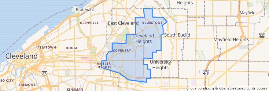
Cleveland Heights
Cleveland Heights
انظر في الخريطة التفاعلية
طرق النقل العام
RTA 32 Cedar
RTA 37 East 175-Taylor
RTA 41F Warrensville (northbound)
RTA 41F Warrensville (southbound)
موقف
-81.56523030000001, 41.501347800000005
-81.55631410000001, 41.501245100000006
Mayfield - Warrensville
-81.56519580000001, 41.501166600000005
-81.56085080000001, 41.501388000000006
-81.56397650000001, 41.501174500000005
Mayfield - Warrensville
Mayfield - Warrensville
-81.5553304, 41.5014188
Mayfield - Warrensville
مجالات الاهتمام
Oak Tree Veterinary Hospital
Vero Bistro
KFC
US Bank
Golden Dragon
Cedar Hill School
Heights Arts
Severance-Millikin School
Key Bank
Luna Cafe
Momo's Kebab
Wendy's
Heights Animal Hospital
The Rib Cage
Aladdin's Eatery
Chase
M. T. Glass
Fresh & Meaty Burgers
Irv's Sandwich Shop
Parnell's Pub
The Fairmount
India Community Center
Lopez
The Social Room
Teresa's Pizza
Barrio
Pub on Lee
A Dental TLC
Anatolia Cafe
Liquid Planet