Accesso
Utenti preferiti
Sondaggio
Homepage
>
Stati Uniti d'America
>
Ohio
>
Cuyahoga County
>
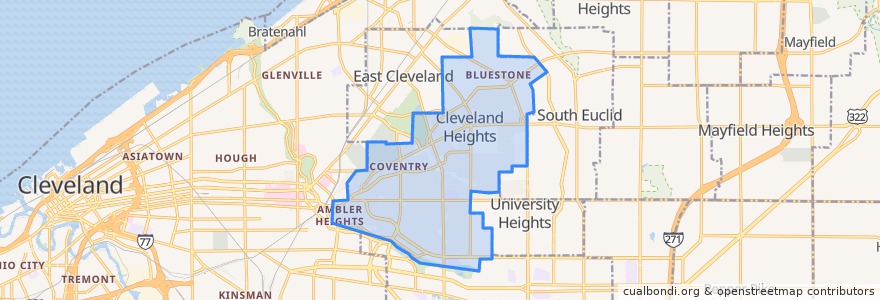
Cleveland Heights
Cleveland Heights
Visualizza nella mappa interattiva
Percorsi di trasporto pubblico
RTA 32 Cedar
RTA 37 East 175-Taylor
RTA 41F Warrensville (northbound)
RTA 41F Warrensville (southbound)
Fermate
-81.56523030000001, 41.501347800000005
Mayfield - Warrensville
-81.5553304, 41.5014188
-81.56085080000001, 41.501388000000006
-81.56519580000001, 41.501166600000005
-81.55631410000001, 41.501245100000006
-81.56397650000001, 41.501174500000005
Mayfield - Warrensville
Mayfield - Warrensville
Mayfield - Warrensville
Punti di interesse
The Fairmount
Irish Pub
Starbucks
Golden Dragon
Aladdin's Eatery
Bruegger's Bagels
Heights Arts
Teresa's Pizza
Barrio
Lopez
The Stone Oven
Pizza BOGO
Subway
Discovery Preschool
Anatolia Cafe
Ohio Savings Bank
Key Bank
Momo's Kebab
Cleveland Heights
Noble Road Presbyterian Church
US Bank
Dewey's Pizza
Irv's Sandwich Shop
Severance-Millikin School
The Social Room
Pub on Lee
Wendy's
Vero Bistro
Heights Animal Hospital
KFC