وارد شدن
کاربران ستاره
نظرسنجی
شروع
>
ایالات متحده آمریکا
>
اوهایو
>
Cuyahoga County
>
Cleveland Heights
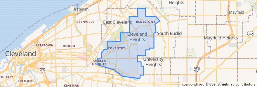
Cleveland Heights
در نقشه تعاملی مشاهده کنید
مسیرهای حمل و نقل عمومی
RTA 32 Cedar
RTA 37 East 175-Taylor
RTA 41F Warrensville (northbound)
RTA 41F Warrensville (southbound)
ایستگاه
-81.55631410000001, 41.501245100000006
Mayfield - Warrensville
-81.56519580000001, 41.501166600000005
Mayfield - Warrensville
-81.5553304, 41.5014188
Mayfield - Warrensville
-81.56085080000001, 41.501388000000006
-81.56397650000001, 41.501174500000005
-81.56523030000001, 41.501347800000005
Mayfield - Warrensville
نقاط مورد علاقه
Fifth Third Bank
Joey's Bistro Bar
Merrit Cafe and Bakery
Vero Bistro
Richie Chan's
Cleveland Heights
Discovery Preschool
Momo's Kebab
The Fairmount
Fresh & Meaty Burgers
Teresa's Pizza
Wendy's
Hope Evangelical Lutheran Church
Bruegger's Bagels
Luna Cafe
Heights Animal Hospital
The Seafood Place Plus
Starbucks
US Bank
Heights Arts
Night Town
Pizza BOGO
The Stone Oven
Key Bank
Forest Hill Church of Christ
Irish Pub
M. T. Glass
Irv's Sandwich Shop
The Rib Cage
New Heights Grill