Conecte-se
Usuários estrela
Pesquisa
Início
>
Estados Unidos da América
>
Ohio
>
Cuyahoga County
>
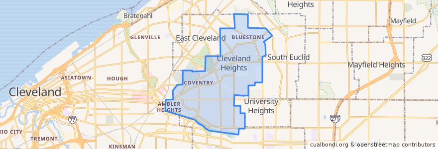
Cleveland Heights
Cleveland Heights
Veja no mapa interativo
Rotas de transporte público
RTA 32 Cedar
RTA 37 East 175-Taylor
RTA 41F Warrensville (northbound)
RTA 41F Warrensville (southbound)
Paradas
-81.56085080000001, 41.501388000000006
-81.56519580000001, 41.501166600000005
Mayfield - Warrensville
-81.56397650000001, 41.501174500000005
Mayfield - Warrensville
-81.5553304, 41.5014188
Mayfield - Warrensville
-81.56523030000001, 41.501347800000005
-81.55631410000001, 41.501245100000006
Mayfield - Warrensville
Pontos de interesse
Bethel Baptist Church
Best Gyros
M. T. Glass
A Dental TLC
Richie Chan's
Luna Cafe
Barrio
Aladdin's Eatery
Joey's Bistro Bar
Wendy's
US Bank
KFC
Chase
Fresh & Meaty Burgers
PNC Bank
Merrit Cafe and Bakery
Oak Tree Veterinary Hospital
Fifth Third Bank
Pub on Lee
Ohio Savings Bank
Cedar Hill School
The Fairmount
Liquid Planet
The Rib Cage
Severance-Millikin School
Lopez
Momo's Kebab
Anatolia Cafe
Dewey's Pizza
Parnell's Pub