Login
Star users
Poll
Home
>
United States
>
Massachusetts
>
Plymouth County
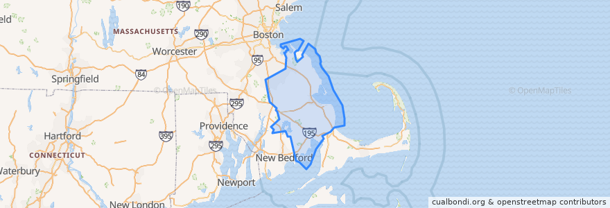
Plymouth County
See in interactive map
Routes of public transport
GATRA Onset/Wareham Link 3 Shangri-La to Cranberry Plaza
GATRA Pembroke Shuttle
GATRA Plymouth Area Link Liberty Link
GATRA Plymouth Area Link Manomet/Cedarville Deviated Link
Places
Plymouth
(2)
Hanson
(1)
Kingston
(1)
Pembroke
(1)
Wareham
(1)
Abington
(0)
Bridgewater
(0)
Brockton
(0)
Carver
(0)
Duxbury
(0)
East Bridgewater
(0)
Halifax
(0)
Hanover
(0)
Hingham
(0)
Hull
(0)
Lakeville
(0)
Marion
(0)
Marshfield
(0)
Mattapoisett
(0)
Middleborough
(0)
Norwell
(0)
Plympton
(0)
Rochester
(0)
Rockland
(0)
Scituate
(0)
West Bridgewater
(0)
Whitman
(0)
Points of interest
Plymouth Fire Department
East Bridgewater
Kogi
Uva Wine Bar
Domino's Pizza
3A Cafe
GATRA
Bryantsville United Methodist Church
Plymouth
Happy Garden Restaurant
Plymouth Rock Holiness Church
Peaceful Meadows
Eastern Bank
Isaac's Restaurant
Woods Seafood
Cork + Table
Papa Gino's
Rising Tide Charter Public School
Halifax
Pembroke Public Library
First Baptist Church
Blue Blinds Bakery
Pilgrim Area Collaborative (PAC) - PILGRIM ACADEMY
Savery Cemetery
Abington
Captain's Den
Zion Lutheran Church
Main Street Bar and Grill
Bridgewater
Marshfield