로그인
스타 사용자
투표
홈페이지
>
미국
>
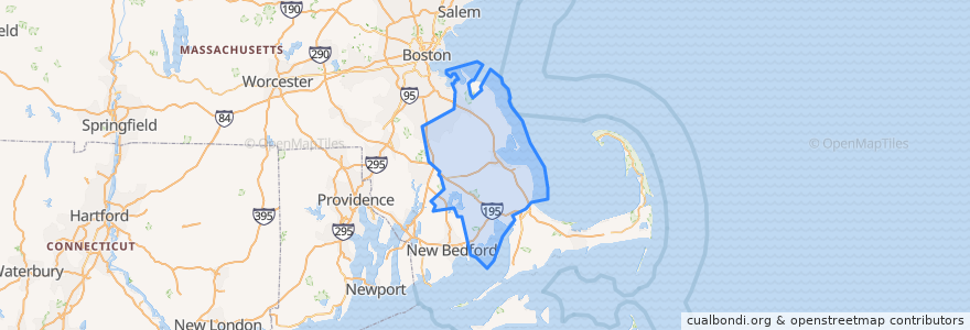
매사추세츠
>
Plymouth County
Plymouth County
대화식지도에서보기
대중 교통 경로
GATRA Onset/Wareham Link 3 Shangri-La to Cranberry Plaza
GATRA Pembroke Shuttle
GATRA Plymouth Area Link Liberty Link
GATRA Plymouth Area Link Manomet/Cedarville Deviated Link
장소
Plymouth
(2)
Hanson
(1)
Kingston
(1)
Pembroke
(1)
Wareham
(1)
Abington
(0)
Bridgewater
(0)
Brockton
(0)
Carver
(0)
Duxbury
(0)
East Bridgewater
(0)
Halifax
(0)
Hanover
(0)
Hingham
(0)
Hull
(0)
Lakeville
(0)
Marion
(0)
Marshfield
(0)
Mattapoisett
(0)
Middleborough
(0)
Norwell
(0)
Plympton
(0)
Rochester
(0)
Rockland
(0)
Scituate
(0)
West Bridgewater
(0)
Whitman
(0)
가볼만한 곳
Rising Tide Charter Public School
Happy Garden Restaurant
Pembroke Fire Department
Rockland
Burrage Pond Gate
Stevies Pizza
Salt
Pembroke Fire Department
Pillory Pub
West Bridgewater
Tavern on the Wharf
Middleborough
Brockton
Shanty Rose
Carver
Pembroke
Rite Aid
Lobster Hut
Sarcophagus
Plymouth
Kogi
Will & Co Cafe
Plymouth Rock Holiness Church
Enterprise
Hanson Police Station
Plymouth United Methodist Church
Wareham
First Baptist Church of Plymouth
Plymouth Watersport
Subway