Accesso
Utenti preferiti
Sondaggio
Homepage
>
Stati Uniti d'America
>
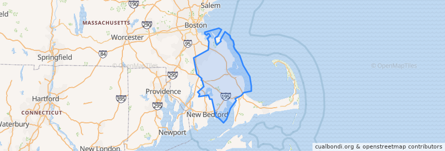
Massachusetts
>
Plymouth County
Plymouth County
Visualizza nella mappa interattiva
Percorsi di trasporto pubblico
GATRA Onset/Wareham Link 3 Shangri-La to Cranberry Plaza
GATRA Pembroke Shuttle
GATRA Plymouth Area Link Liberty Link
GATRA Plymouth Area Link Manomet/Cedarville Deviated Link
Posti
Plymouth
(2)
Hanson
(1)
Kingston
(1)
Pembroke
(1)
Wareham
(1)
Abington
(0)
Bridgewater
(0)
Brockton
(0)
Carver
(0)
Duxbury
(0)
East Bridgewater
(0)
Halifax
(0)
Hanover
(0)
Hingham
(0)
Hull
(0)
Lakeville
(0)
Marion
(0)
Marshfield
(0)
Mattapoisett
(0)
Middleborough
(0)
Norwell
(0)
Plympton
(0)
Rochester
(0)
Rockland
(0)
Scituate
(0)
West Bridgewater
(0)
Whitman
(0)
Punti di interesse
Yogis Cafe
Pilgrim Area Collaborative (PAC) - PILGRIM ACADEMY
East Bridgewater
Plymouth Harbor Fuel
Subway
Plymouth Rock Holiness Church
Hingham
Mallebar Brasserie
First Baptist Church of Plymouth
Plymouth Fire Department
Auntie Anne's
Pembroke Town Hall
Peaceful Meadows
China Chef
Zion Lutheran Church
Uva Wine Bar
Stevies Pizza
Pembroke Fire Department
Bryantsville United Methodist Church
Anna's Harborside Grille
Brockton
Duxbury
Guilty Bakery
Bangkok Thai Cuisine
Pembroke Public Library
Dillon's Local
Thirty-Nine Court
Bethel African Methodist Episcopal Zion Church
Hull
T-Bones