Login
Star users
Poll
Home
>
United States
>
Massachusetts
>
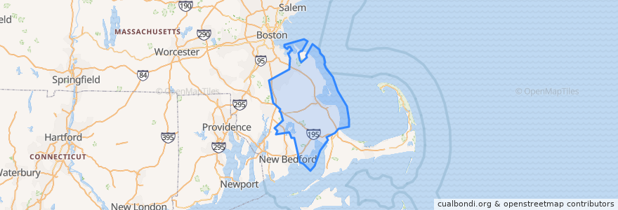
Plymouth County
Plymouth County
See in interactive map
Routes of public transport
GATRA Onset/Wareham Link 3 Shangri-La to Cranberry Plaza
GATRA Pembroke Shuttle
GATRA Plymouth Area Link Liberty Link
GATRA Plymouth Area Link Manomet/Cedarville Deviated Link
Places
Plymouth
(2)
Hanson
(1)
Kingston
(1)
Pembroke
(1)
Wareham
(1)
Abington
(0)
Bridgewater
(0)
Brockton
(0)
Carver
(0)
Duxbury
(0)
East Bridgewater
(0)
Halifax
(0)
Hanover
(0)
Hingham
(0)
Hull
(0)
Lakeville
(0)
Marion
(0)
Marshfield
(0)
Mattapoisett
(0)
Middleborough
(0)
Norwell
(0)
Plympton
(0)
Rochester
(0)
Rockland
(0)
Scituate
(0)
West Bridgewater
(0)
Whitman
(0)
Points of interest
Middleborough
Anna's Harborside Grille
Hanover
Subway
CVS
Hull
Thirty-Nine Court
Main Street Bar and Grill
New World Tavern
Dillon's Local
Church of the Pilgrimage
Asia Tasty
Cupcake Charlies
Kingston
Plymouth Fire Department
Cafe Nicole
Halifax
East Bridgewater
Pilgrim Area Collaborative (PAC) - PILGRIM ACADEMY
Kogi
Savery Cemetery
Martinis Bar and Grill
Isaac's Restaurant
Pembroke Fire Department
Pembroke Police Dept
Zion Lutheran Church
Pilgrim Mother Statue
Cork + Table
Dunkin' Donuts
Anna-Marias Dessert Cafe