ログインする
スターユーザー
投票
ホーム
>
アメリカ合衆国
>
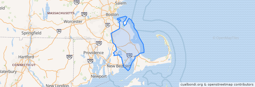
マサチューセッツ州
>
Plymouth County
Plymouth County
インタラクティブマップで見る
公共交通機関のルート
GATRA Onset/Wareham Link 3 Shangri-La to Cranberry Plaza
GATRA Pembroke Shuttle
GATRA Plymouth Area Link Liberty Link
GATRA Plymouth Area Link Manomet/Cedarville Deviated Link
場所
Plymouth
(2)
Hanson
(1)
Kingston
(1)
Pembroke
(1)
Wareham
(1)
Abington
(0)
Bridgewater
(0)
Brockton
(0)
Carver
(0)
Duxbury
(0)
East Bridgewater
(0)
Halifax
(0)
Hanover
(0)
Hingham
(0)
Hull
(0)
Lakeville
(0)
Marion
(0)
Marshfield
(0)
Mattapoisett
(0)
Middleborough
(0)
Norwell
(0)
Plympton
(0)
Rochester
(0)
Rockland
(0)
Scituate
(0)
West Bridgewater
(0)
Whitman
(0)
興味がある点
Pembroke Police Dept
Halifax
Duxbury
Anna's Harborside Grille
Yogis Cafe
Plymouth County
Oak Street School
Burrage Pond Gate
GATRA
Cork + Table
Brockton
Mallebar Brasserie
Plymouth Rock Holiness Church
T-Bones
Cafe Nicole
Tales of the Sea
Carver
China Chef
Christ Episcopal Church
Happy Garden Restaurant
Plymouth
Bryantsville United Methodist Church
Rockland
Church of the Pilgrimage
Subway
Rising Tide Charter Public School
Mattapoisett
Pembroke Town Hall
Plymouth Watersport
Dunkin' Donuts