Ouverture de session
Utilisateurs étoile
Sondage
Accueil
>
États-Unis d'Amérique
>
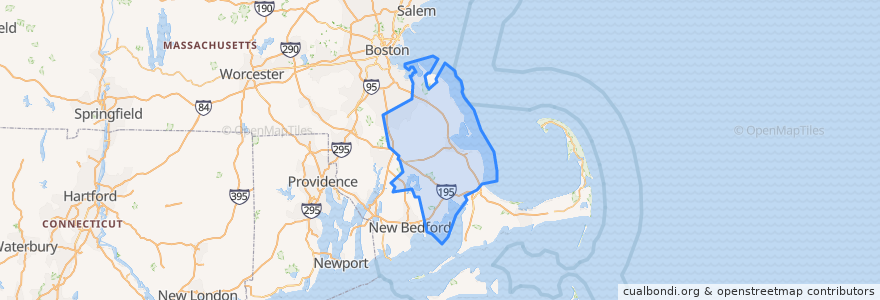
Massachusetts
>
Plymouth County
Plymouth County
Voir sur la carte interactive
Itinéraires des transports publics
GATRA Onset/Wareham Link 3 Shangri-La to Cranberry Plaza
GATRA Pembroke Shuttle
GATRA Plymouth Area Link Liberty Link
GATRA Plymouth Area Link Manomet/Cedarville Deviated Link
Endroits
Plymouth
(2)
Hanson
(1)
Kingston
(1)
Pembroke
(1)
Wareham
(1)
Abington
(0)
Bridgewater
(0)
Brockton
(0)
Carver
(0)
Duxbury
(0)
East Bridgewater
(0)
Halifax
(0)
Hanover
(0)
Hingham
(0)
Hull
(0)
Lakeville
(0)
Marion
(0)
Marshfield
(0)
Mattapoisett
(0)
Middleborough
(0)
Norwell
(0)
Plympton
(0)
Rochester
(0)
Rockland
(0)
Scituate
(0)
West Bridgewater
(0)
Whitman
(0)
Points d'interêts
Carver
Cork + Table
Oak Street School
Tavern on the Wharf
East Bridgewater
British Beer Company
Pembroke Fire Department
Bryantsville United Methodist Church
Cafe Nicole
Blue Blinds Bakery
Plymouth Watersport
Uva Wine Bar
Tales of the Sea
Dunkin' Donuts
Mallebar Brasserie
Hanson Police Station
Pilgrim Area Collaborative (PAC) - Pilgrim Area Collaborative Extended Support Program
Rockland
Pembroke
Anna's Harborside Grille
Stevies Pizza
First Church in Pembroke
Plymouth United Methodist Church
3A Cafe
Rite Aid
Mattapoisett
Christ Episcopal Church
Happy Garden Restaurant
Sun Dynasty
Dunkin' Donuts