تسجيل الدخول
مستخدمي ستار
تصويت
الصفحة الرئيسية
>
الولايات المتّحدة الأمريكيّة
>
نيوهامشير
>
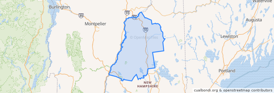
Grafton County
Grafton County
انظر في الخريطة التفاعلية
طرق النقل العام
Hobo Railroad
أماكن
Lincoln
(1)
Thornton
(1)
Woodstock
(1)
Alexandria
(0)
Ashland
(0)
Bath
(0)
Benton
(0)
Bethlehem
(0)
Bridgewater
(0)
Bristol
(0)
Campton
(0)
Canaan
(0)
Dorchester
(0)
Easton
(0)
Ellsworth
(0)
Enfield
(0)
Franconia
(0)
Grafton
(0)
Groton
(0)
Hanover
(0)
Haverhill
(0)
Hebron
(0)
Holderness
(0)
Landaff
(0)
Lebanon
(0)
Lisbon
(0)
Littleton
(0)
Livermore
(0)
Lyman
(0)
Lyme
(0)
Monroe
(0)
Orange
(0)
Orford
(0)
Piermont
(0)
Plymouth
(0)
Rumney
(0)
Sugar Hill
(0)
Warren
(0)
Waterville Valley
(0)
Wentworth
(0)
موقف
-71.6777256, 44.039728100000005
-71.6784437, 44.040381200000006
مجالات الاهتمام
Livermore
Alexandria
Lisbon
Hanover
Grafton
Lyme
Plymouth
Groton
Woodstock
Warren
Hebron
Bethlehem
Franconia
Enfield
Littleton
Orange
Pemi Valley Church
Ellsworth
Dinner Train
Sugar Hill
Holderness
Bridgewater
Benton
Dorchester
Easton
Landaff
Waterville Valley
Monroe
Lyman
Lincoln