Login
Star users
Poll
Home
>
United States
>
New Hampshire
>
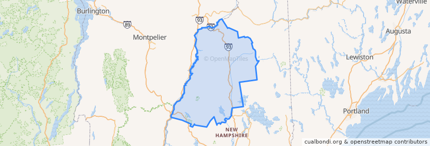
Grafton County
Grafton County
See in interactive map
Routes of public transport
Hobo Railroad
Places
Lincoln
(1)
Thornton
(1)
Woodstock
(1)
Alexandria
(0)
Ashland
(0)
Bath
(0)
Benton
(0)
Bethlehem
(0)
Bridgewater
(0)
Bristol
(0)
Campton
(0)
Canaan
(0)
Dorchester
(0)
Easton
(0)
Ellsworth
(0)
Enfield
(0)
Franconia
(0)
Grafton
(0)
Groton
(0)
Hanover
(0)
Haverhill
(0)
Hebron
(0)
Holderness
(0)
Landaff
(0)
Lebanon
(0)
Lisbon
(0)
Littleton
(0)
Livermore
(0)
Lyman
(0)
Lyme
(0)
Monroe
(0)
Orange
(0)
Orford
(0)
Piermont
(0)
Plymouth
(0)
Rumney
(0)
Sugar Hill
(0)
Warren
(0)
Waterville Valley
(0)
Wentworth
(0)
Stops
-71.6784437, 44.040381200000006
-71.6777256, 44.039728100000005
Points of interest
Landaff
Groton
Hebron
Dorchester
Franconia
Dinner Train
Warren
Enfield
Lyman
Alexandria
Waterville Valley
Lyme
Bethlehem
Ashland
Plymouth
Bath
Monroe
Livermore
Pemi Valley Church
Haverhill
White Mountain Bagels
Hanover
Grafton County
Easton
Bridgewater
Rumney
Lisbon
Benton
Ellsworth
Bristol