وارد شدن
کاربران ستاره
نظرسنجی
شروع
>
ایالات متحده آمریکا
>
نیوهمپشر
>
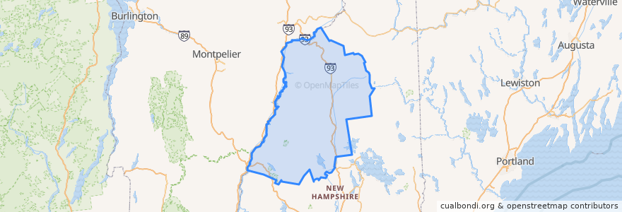
Grafton County
Grafton County
در نقشه تعاملی مشاهده کنید
مسیرهای حمل و نقل عمومی
Hobo Railroad
اماکن
Lincoln
(1)
Thornton
(1)
Woodstock
(1)
Alexandria
(0)
Ashland
(0)
Bath
(0)
Benton
(0)
Bethlehem
(0)
Bridgewater
(0)
Bristol
(0)
Campton
(0)
Canaan
(0)
Dorchester
(0)
Easton
(0)
Ellsworth
(0)
Enfield
(0)
Franconia
(0)
Grafton
(0)
Groton
(0)
Hanover
(0)
Haverhill
(0)
Hebron
(0)
Holderness
(0)
Landaff
(0)
Lebanon
(0)
Lisbon
(0)
Littleton
(0)
Livermore
(0)
Lyman
(0)
Lyme
(0)
Monroe
(0)
Orange
(0)
Orford
(0)
Piermont
(0)
Plymouth
(0)
Rumney
(0)
Sugar Hill
(0)
Warren
(0)
Waterville Valley
(0)
Wentworth
(0)
ایستگاه
-71.6777256, 44.039728100000005
-71.6784437, 44.040381200000006
نقاط مورد علاقه
Lebanon
Groton
Sugar Hill
Plymouth
Franconia
Tony's Italian Grille
Bristol
Canaan
Wentworth
Haverhill
Dorchester
Holderness
Landaff
Livermore
Orford
Dinner Train
Grafton
Alexandria
Bath
Grafton County
Rumney
White Mountain Bagels
Campton
Lincoln
Ellsworth
Enfield
Lyme
Bethlehem
Monroe
Littleton