Accesso
Utenti preferiti
Sondaggio
Homepage
>
Stati Uniti d'America
>
New Hampshire
>
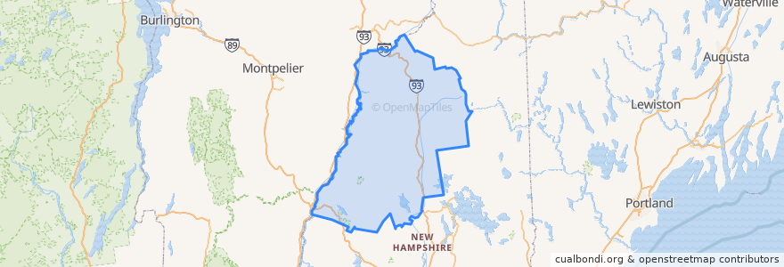
Grafton County
Grafton County
Visualizza nella mappa interattiva
Percorsi di trasporto pubblico
Hobo Railroad
Posti
Lincoln
(1)
Thornton
(1)
Woodstock
(1)
Alexandria
(0)
Ashland
(0)
Bath
(0)
Benton
(0)
Bethlehem
(0)
Bridgewater
(0)
Bristol
(0)
Campton
(0)
Canaan
(0)
Dorchester
(0)
Easton
(0)
Ellsworth
(0)
Enfield
(0)
Franconia
(0)
Grafton
(0)
Groton
(0)
Hanover
(0)
Haverhill
(0)
Hebron
(0)
Holderness
(0)
Landaff
(0)
Lebanon
(0)
Lisbon
(0)
Littleton
(0)
Livermore
(0)
Lyman
(0)
Lyme
(0)
Monroe
(0)
Orange
(0)
Orford
(0)
Piermont
(0)
Plymouth
(0)
Rumney
(0)
Sugar Hill
(0)
Warren
(0)
Waterville Valley
(0)
Wentworth
(0)
Fermate
-71.6784437, 44.040381200000006
-71.6777256, 44.039728100000005
Punti di interesse
Lebanon
Tony's Italian Grille
Easton
Hebron
Rumney
Groton
Woodstock
Haverhill
Ellsworth
Monroe
Lyman
Grafton
Thornton
Warren
Dorchester
Lyme
Lincoln
Piermont
Sugar Hill
Canaan
Orford
Waterville Valley
White Mountain Bagels
Lisbon
Bridgewater
Benton
Orange
Wentworth
Franconia
Littleton