Conecte-se
Usuários estrela
Pesquisa
Início
>
Estados Unidos da América
>
Nova Hampshire
>
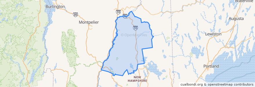
Grafton County
Grafton County
Veja no mapa interativo
Rotas de transporte público
Hobo Railroad
Lugares
Lincoln
(1)
Thornton
(1)
Woodstock
(1)
Alexandria
(0)
Ashland
(0)
Bath
(0)
Benton
(0)
Bethlehem
(0)
Bridgewater
(0)
Bristol
(0)
Campton
(0)
Canaan
(0)
Dorchester
(0)
Easton
(0)
Ellsworth
(0)
Enfield
(0)
Franconia
(0)
Grafton
(0)
Groton
(0)
Hanover
(0)
Haverhill
(0)
Hebron
(0)
Holderness
(0)
Landaff
(0)
Lebanon
(0)
Lisbon
(0)
Littleton
(0)
Livermore
(0)
Lyman
(0)
Lyme
(0)
Monroe
(0)
Orange
(0)
Orford
(0)
Piermont
(0)
Plymouth
(0)
Rumney
(0)
Sugar Hill
(0)
Warren
(0)
Waterville Valley
(0)
Wentworth
(0)
Paradas
-71.6784437, 44.040381200000006
-71.6777256, 44.039728100000005
Pontos de interesse
Grafton
Tony's Italian Grille
Sugar Hill
Livermore
Pemi Valley Church
Hebron
Ashland
Franconia
Haverhill
Lyme
Groton
Dinner Train
Landaff
Grafton County
Plymouth
Easton
Rumney
Lebanon
Littleton
Benton
Piermont
Lyman
Lincoln
Holderness
Bridgewater
Woodstock
Bethlehem
Orange
White Mountain Bagels
Lisbon