Anmelden
Star-Benutzer
Umfrage
Startseite
>
Sri Lanka
>
Westprovinz
>
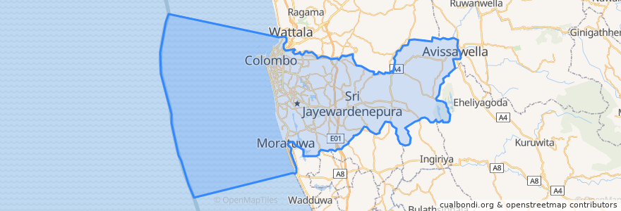
Distrikt Colombo
Distrikt Colombo
Siehe in der interaktiven Karte
Routen des öffentlichen Verkehrs
103 Fort Borella
103 Fort Narahenpita
122 Avissawella
122 Colombo Avissawella
138, Kadawatha Colombo Fort
168 Nugegoda Kotahena
176 Karagampitiya Hettiyawatte
190 Meegoda Pettah
993 Maharagama Malabe
Avissawella - Panawala Road
Bus 101
Coastal Line
Godagama
Gothatuwa - Pettah
Kegalle
Kelani Valley Line
Kelani Valley Line
Kohilawththa - Kollupitiya
Mt. Lavinia - Bakery Junction
Wellawatte → Narahenpita
Orte
Colombo
(11)
Haltestellen
Kirulapona
Nugegoda
Narahenpita
Kirulapona Market
Pamankada Halt
Udahamulla
Cotta Road
Baseline Road
Maharagama
79.87685570000001, 6.8861631
Nawinna
Manning Place halt
79.87688270000001, 6.8877192
Pannipitiya
Narahenpita
Randeniya Car Accessories
Malapalla
Sigma
Kottawa
Maradana
79.8662319, 6.8767474
Colombo Fort
Sehenswürdigkeiten
Shanghai Lotus
Uncle's
CDB Bank
The t-Lounge by Dilmah
Curve
Pan Asia Bank Malabe
Punch Island Bar
Geethanjali
Standard Chartered
EV Fast Charging Station
KFC
Boardwalk
Sampath Bank
Lanka Filling Station
IOC Lanka
Rokem Phramacy
The brown bean
NTB Nawam Mawatha
Champion slice
Perera and Sons Bakers
Weerasiri Cafe
NSB
HNB
Commercial Bank of Ceylon
HNB
Harcourts Pharmacy
Sri Bodhiraja Viharaya
HNB
Commercial Bank of Ceylon
Waruna Pharmacy