وارد شدن
کاربران ستاره
نظرسنجی
شروع
>
سریلانکا
>
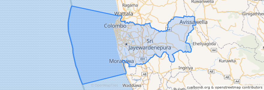
Western Province
>
Colombo District
Colombo District
در نقشه تعاملی مشاهده کنید
مسیرهای حمل و نقل عمومی
103 Fort Borella
103 Fort Narahenpita
122 Avissawella
122 Colombo Avissawella
138, Kadawatha Colombo Fort
168 Nugegoda Kotahena
176 Karagampitiya Hettiyawatte
190 Meegoda Pettah
993 Maharagama Malabe
Avissawella - Panawala Road
Bus 101
Coastal Line
Godagama
Gothatuwa - Pettah
Kegalle
Kelani Valley Line
Kelani Valley Line
Kohilawththa - Kollupitiya
Mt. Lavinia - Bakery Junction
Wellawatte → Narahenpita
اماکن
Colombo
(11)
ایستگاه
Sigma
79.87685570000001, 6.8861631
Randeniya Car Accessories
Colombo Fort
Kirulapona Market
Pamankada Halt
Maharagama
Narahenpita
Kirulapona
Cotta Road
Malapalla
Kottawa
Nawinna
Baseline Road
Narahenpita
Nugegoda
Manning Place halt
Udahamulla
Maradana
79.87688270000001, 6.8877192
Pannipitiya
79.8662319, 6.8767474
نقاط مورد علاقه
HSBC
Sri Bodhiraja Viharaya
IDH Hospital
People's Bank
State Bank of India
Arpico Super Centre Car Park
McDonald's
Meththaramaya
Thalahena
Sampath Super Branch
KFC
Sampath Bank
Mihindu Viharaya
Thalangama Depot
Kotikawatte Mulleriyawa Pradeshiya Sabhava
People's Bank
Harcourts Pharmacy
Sakura Dental Hospital
LPG
Sen-Saal
Mount Lavinia Bus Stand
British College of Applied Studies
Dinermore
St. Michael's Vidyalaya
DFCC Vardhana Bank
Scope Cinemas
Botanik Bistro & Roof Top Bar
New Imperial Cinema
Commercial Bank of Ceylon
Champion slice