Log masuk
Pengguna bintang
Undian
Laman utama
>
Sri Lanka
>
Western Province
>
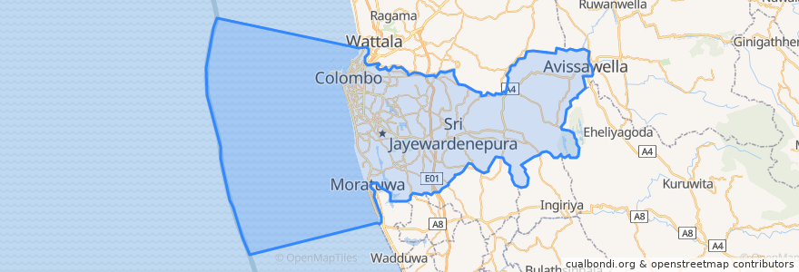
Colombo District
Colombo District
Lihat di peta interaktif
Laluan pengangkutan awam
103 Fort Borella
103 Fort Narahenpita
122 Avissawella
122 Colombo Avissawella
138, Kadawatha Colombo Fort
168 Nugegoda Kotahena
176 Karagampitiya Hettiyawatte
190 Meegoda Pettah
993 Maharagama Malabe
Avissawella - Panawala Road
Bus 101
Coastal Line
Godagama
Gothatuwa - Pettah
Kegalle
Kelani Valley Line
Kelani Valley Line
Kohilawththa - Kollupitiya
Mt. Lavinia - Bakery Junction
Wellawatte → Narahenpita
Tempat
Colombo
(11)
Perhentian
79.87688270000001, 6.8877192
Nawinna
79.8662319, 6.8767474
79.87685570000001, 6.8861631
Narahenpita
Pannipitiya
Kirulapona Market
Kirulapona
Maradana
Manning Place halt
Udahamulla
Malapalla
Narahenpita
Maharagama
Nugegoda
Sigma
Randeniya Car Accessories
Pamankada Halt
Cotta Road
Baseline Road
Kottawa
Colombo Fort
Tempat menarik
Angel Flavours
Commercial Bank of Ceylon
Colombo public library event venue
Commercial Bank of Ceylon
DFCC Bank
Sri Sudharshanaramaya
People's Bank
Perera & Sons
Shalukaramaya
Lankasaba Primary School
Public Lavatory
Malabe Post Office 10115
Shamrock Club & Lounge
Barista
Pizza Hut
Hot cook
Peoples Bank
Pets V Care
Seafisch
Sampath Super Branch
Sri Rahula Balika Maha Vidyalaya
Anandaramaya
Fresh Juice
Curry by Lotus
Bank of Ceylon
Shanta Mayadunne School of Cooking Art
Dr. Ravimal Galappaththi
HNB
Ceypecto
NDB Bank