Login
Star users
Poll
Home
>
Sri Lanka
>
Western Province
>
Colombo District
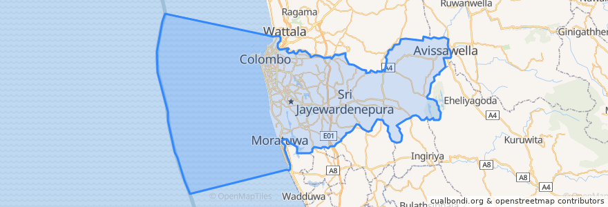
Colombo District
See in interactive map
Routes of public transport
103 Fort Borella
103 Fort Narahenpita
122 Avissawella
122 Colombo Avissawella
138, Kadawatha Colombo Fort
168 Nugegoda Kotahena
176 Karagampitiya Hettiyawatte
190 Meegoda Pettah
993 Maharagama Malabe
Avissawella - Panawala Road
Bus 101
Coastal Line
Godagama
Gothatuwa - Pettah
Kegalle
Kelani Valley Line
Kelani Valley Line
Kohilawththa - Kollupitiya
Mt. Lavinia - Bakery Junction
Wellawatte → Narahenpita
Places
Colombo
(11)
Stops
Narahenpita
79.8662319, 6.8767474
Randeniya Car Accessories
Maharagama
Maradana
Baseline Road
Kirulapona
Sigma
Cotta Road
Nawinna
Nugegoda
Colombo Fort
79.87685570000001, 6.8861631
Manning Place halt
Udahamulla
Pamankada Halt
Malapalla
79.87688270000001, 6.8877192
Kottawa
Kirulapona Market
Pannipitiya
Narahenpita
Points of interest
Sri Rahula Balika Maha Vidyalaya
Park Street Mews
Western Province
KFC
Shalawanodyaramaya
Patirana Food Corner
Perera & Sons
Police Station Thalangama - Koswatte
Dharmapala Vidyalaya
Lanka Filling Station
Sam's Pharmacy
Malabe Post Office 10115
Cine City
Champion slice
BOC
NSB
Subhodhi Junior School
Honorary Consulate of the Czech Republic
HNB
Rancrisp Cashews
NSB
IOC Filling Stay
Sizzler
Fatima Church
HDFC Bank
Bao House
Gothatuwa Police Post
Church of Holy Rosary
Commercial Bank of Ceylon
Burger King