로그인
스타 사용자
투표
홈페이지
>
스리랑카
>
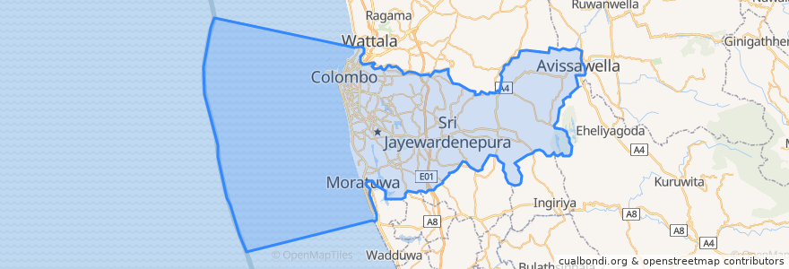
Western Province
>
Colombo District
Colombo District
대화식지도에서보기
대중 교통 경로
103 Fort Borella
103 Fort Narahenpita
122 Avissawella
122 Colombo Avissawella
138, Kadawatha Colombo Fort
168 Nugegoda Kotahena
176 Karagampitiya Hettiyawatte
190 Meegoda Pettah
993 Maharagama Malabe
Avissawella - Panawala Road
Bus 101
Coastal Line
Godagama
Gothatuwa - Pettah
Kegalle
Kelani Valley Line
Kelani Valley Line
Kohilawththa - Kollupitiya
Mt. Lavinia - Bakery Junction
Wellawatte → Narahenpita
장소
콜롬보
(11)
버스 정류장
Colombo Fort
Pannipitiya
Maradana
79.8662319, 6.8767474
Cotta Road
Kirulapona
Kottawa
Pamankada Halt
Maharagama
Kirulapona Market
79.87685570000001, 6.8861631
Manning Place halt
Narahenpita
Malapalla
Udahamulla
Nawinna
79.87688270000001, 6.8877192
Narahenpita
Randeniya Car Accessories
Nugegoda
Baseline Road
Sigma
가볼만한 곳
BOC
Dental Surgery
Domino's
Sampath Bank
Ratnagiri Hotel
Ishara Enterprise
Eat Rite
Shamrock Club & Lounge
Hatton National Bank
Sampath Bank
YMBA Hospital
Lush deli cafe
Domino's
Lobster Seafood
HNB
Kotikawatte Mulleriyawa Pradeshiya Sabhava
Geethanjali
Fort Jumma Mosque
Niro
Gomez PVT Hospital
NTB Head Office
Avissawella Courts Complex
Temple
Rajagedara
Habib Bank
rare at Residence
People's Bank
Chariot
St. Mary's Girls' School
BOC