Login
Star users
Poll
Home
>
New Zealand / Aotearoa
>
Wellington
>
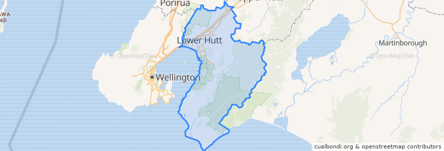
Lower Hutt City
Lower Hutt City
See in interactive map
Routes of public transport
Hutt Valley Line: Upper Hutt => Wellington
Hutt Valley Line: Wellington => Upper Hutt
Melling Line: Melling => Wellington
Melling Line: Wellington => Melling
Wairarapa Connection: Masterton => Wellington
Wairarapa Connection: Wellington => Masterton
Stops
Pomare
Naenae
Petone
Petone
Taitā
Wingate
Naenae
Woburn
Manor Park
Melling
Waterloo
Taitā
Pomare
Ava
Manor Park
Woburn
Waterloo
Epuni
Wingate
Epuni
Western Hutt
Ava
Points of interest
Workshop Cafe
The Warehouse Petone EV Charger
Laura Fergusson Trust Wellington
Pizza Hut
ANZ
Bawarchi Khana
Sal's Pizza
Wild Bean Cafe
Z Petone
Norma Blue
La Bella Italia
BP Taita
Subway
Moera pharmacy
Han River
Mobil Petone
Caltex
Care Vets
St Pierre's Sushi of Japan
Pizza Land
Taita Fish and Chips
Melling Stn Bike Stands
Melling Station Carpark
Roti Bay
Waterloo Bookshop & Post
Riverbank market
House of Spices
Waterloo Pharmacy
Barnardos
Chomp n chips