وارد شدن
کاربران ستاره
نظرسنجی
شروع
>
نیوزیلند
>
Wellington
>
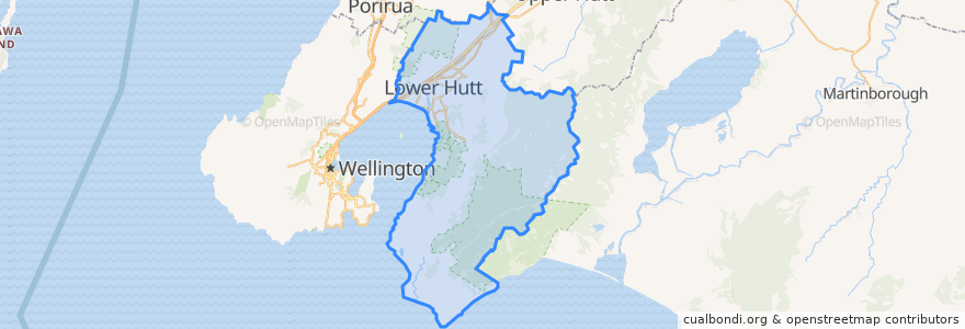
Lower Hutt City
Lower Hutt City
در نقشه تعاملی مشاهده کنید
مسیرهای حمل و نقل عمومی
Hutt Valley Line: Upper Hutt => Wellington
Hutt Valley Line: Wellington => Upper Hutt
Melling Line: Melling => Wellington
Melling Line: Wellington => Melling
Wairarapa Connection: Masterton => Wellington
Wairarapa Connection: Wellington => Masterton
ایستگاه
Waterloo
Manor Park
Epuni
Petone
Pomare
Western Hutt
Wingate
Naenae
Melling
Taitā
Wingate
Ava
Petone
Naenae
Epuni
Woburn
Pomare
Taitā
Ava
Manor Park
Waterloo
Woburn
نقاط مورد علاقه
Z Petone
Z Petone - Service Station
Han River
currystar
Care Vets
BP Waiwhetu
BP Taita
Moera Gospel Chapel
Veterinary
Spice Traders
Chomp n chips
Melling Stn Bike Stands
Hutt City Fire Station
Taita Fish and Chips
Workshop Cafe
Caltex
Moby Dick’s fish&chips
La Bella Italia
Naenae Kitty Mildenhall Community Library
charge.net.nz Pak'nSave Petone
Pizza Hut
Barnardos
Mobil Petone
Waterloo Pharmacy
The Warehouse Petone EV Charger
Coffee at Melling
Riverbank market
Norma Blue
Moera Library
Wild Bean Cafe