Log masuk
Pengguna bintang
Undian
Laman utama
>
New Zealand
>
Wellington
>
Lower Hutt City
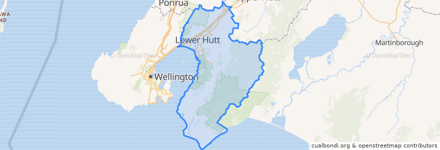
Lower Hutt City
Lihat di peta interaktif
Laluan pengangkutan awam
Hutt Valley Line: Upper Hutt => Wellington
Hutt Valley Line: Wellington => Upper Hutt
Melling Line: Melling => Wellington
Melling Line: Wellington => Melling
Wairarapa Connection: Masterton => Wellington
Wairarapa Connection: Wellington => Masterton
Perhentian
Woburn
Waterloo
Epuni
Taitā
Epuni
Petone
Melling
Woburn
Wingate
Pomare
Naenae
Ava
Waterloo
Western Hutt
Pomare
Manor Park
Wingate
Naenae
Taitā
Manor Park
Petone
Ava
Tempat menarik
Z Hutt Road
BP Waiwhetu
Naenae Kitty Mildenhall Community Library
Bawarchi Khana
Workshop Cafe
Melling Station Carpark
Caltex
Waterloo Pharmacy
Lower Hutt City
Han River
Pita Pit
Mobil Petone
Subway
Moera pharmacy
Hong Kong Takeaways
Pizza Hut
Wellington Mail Centre Box Lobby
Pizza Land
The Warehouse Petone EV Charger
Coffee at Melling
Chomp n chips
Laura Fergusson Trust Wellington
Sal's Pizza
Roti Bay
Walter Nash Centre
St Pierre's Sushi of Japan
BP Taita
Taita Fish and Chips
Hutt City Fire Station
Mei's takeaway