تسجيل الدخول
مستخدمي ستار
تصويت
الصفحة الرئيسية
>
نيوزيلندا
>
Wellington
>
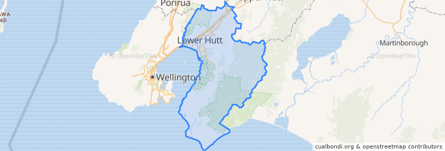
Lower Hutt City
Lower Hutt City
انظر في الخريطة التفاعلية
طرق النقل العام
Hutt Valley Line: Upper Hutt => Wellington
Hutt Valley Line: Wellington => Upper Hutt
Melling Line: Melling => Wellington
Melling Line: Wellington => Melling
Wairarapa Connection: Masterton => Wellington
Wairarapa Connection: Wellington => Masterton
موقف
Pomare
Ava
Taitā
Waterloo
Western Hutt
Petone
Manor Park
Ava
Naenae
Woburn
Epuni
Waterloo
Wingate
Melling
Pomare
Taitā
Woburn
Petone
Epuni
Naenae
Wingate
Manor Park
مجالات الاهتمام
Wild Bean Cafe
charge.net.nz Pak'nSave Petone
Hutt City Fire Station
Sal's Pizza
Naenae Kitty Mildenhall Community Library
Workshop Cafe
Melling Station Carpark
Pita Pit
La Bella Italia
Coffee at Melling
Pizza Hut
currystar
Mei's takeaway
Mobil Petone
Laura Fergusson Trust Wellington
Z Hutt Road
Motown
Barnardos
Melling Stn Bike Stands
Care Vets
Norma Blue
Trade In Kitchen
Caltex
Moby Dick’s fish&chips
Walter Nash Centre
Chomp n chips
BP Railway
Moera pharmacy
Spice Traders
Bawarchi Khana