Ouverture de session
Utilisateurs étoile
Sondage
Accueil
>
Nouvelle-Zélande
>
Wellington
>
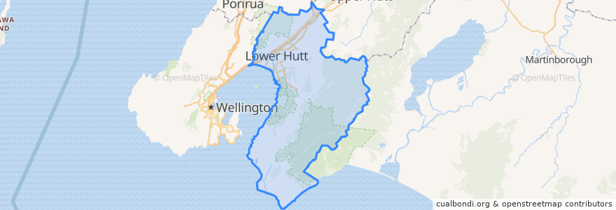
Lower Hutt City
Lower Hutt City
Voir sur la carte interactive
Itinéraires des transports publics
Hutt Valley Line: Upper Hutt => Wellington
Hutt Valley Line: Wellington => Upper Hutt
Melling Line: Melling => Wellington
Melling Line: Wellington => Melling
Wairarapa Connection: Masterton => Wellington
Wairarapa Connection: Wellington => Masterton
Arrêts
Wingate
Pomare
Epuni
Manor Park
Western Hutt
Woburn
Epuni
Woburn
Ava
Ava
Petone
Petone
Waterloo
Naenae
Waterloo
Taitā
Wingate
Manor Park
Naenae
Taitā
Pomare
Melling
Points d'interêts
Caltex
Waterloo Bookshop & Post
Care Vets
Coffee at Melling
Bawarchi Khana
Moera pharmacy
Mei's takeaway
Sal's Pizza
Hutt City Fire Station
Naenae Kitty Mildenhall Community Library
Barnardos
Wellington Mail Centre Box Lobby
Laura Fergusson Trust Wellington
Hong Kong Takeaways
Pizza Hut
Chomp n chips
Mobil Petone
BP Railway
charge.net.nz Pak'nSave Petone
Spice Traders
Subway
Riverbank market
BP Taita
ANZ
Boutique Hair
Zany Zeus
Walter Nash Centre
Melling Station Carpark
BP Waiwhetu
Pizza Land