Accesso
Utenti preferiti
Sondaggio
Homepage
>
Nuova Zelanda
>
Wellington
>
Lower Hutt City
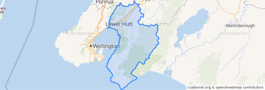
Lower Hutt City
Visualizza nella mappa interattiva
Percorsi di trasporto pubblico
Hutt Valley Line: Upper Hutt => Wellington
Hutt Valley Line: Wellington => Upper Hutt
Melling Line: Melling => Wellington
Melling Line: Wellington => Melling
Wairarapa Connection: Masterton => Wellington
Wairarapa Connection: Wellington => Masterton
Fermate
Naenae
Taitā
Taitā
Ava
Petone
Naenae
Petone
Waterloo
Woburn
Wingate
Epuni
Melling
Manor Park
Woburn
Pomare
Manor Park
Pomare
Epuni
Ava
Western Hutt
Waterloo
Wingate
Punti di interesse
Boutique Hair
ANZ
Pita Pit
Moera pharmacy
Moera Gospel Chapel
BP Taita
Melling Station Carpark
Hutt City Fire Station
currystar
Care Vets
Bawarchi Khana
Taita Fish and Chips
Workshop Cafe
Melling Stn Bike Stands
Trade In Kitchen
Waterloo Pharmacy
Coffee at Melling
Veterinary
Spice Traders
House of Spices
Moera Library
Norma Blue
Waterloo Bookshop & Post
charge.net.nz Pak'nSave Petone
Riverbank market
Caltex
Walter Nash Centre
Sal's Pizza
Pizza Hut
Z Petone