로그인
스타 사용자
투표
홈페이지
>
뉴질랜드
>
Wellington
>
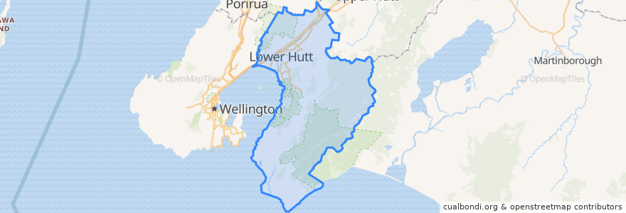
Lower Hutt City
Lower Hutt City
대화식지도에서보기
대중 교통 경로
Hutt Valley Line: Upper Hutt => Wellington
Hutt Valley Line: Wellington => Upper Hutt
Melling Line: Melling => Wellington
Melling Line: Wellington => Melling
Wairarapa Connection: Masterton => Wellington
Wairarapa Connection: Wellington => Masterton
버스 정류장
Wingate
Taitā
Ava
Ava
Epuni
Manor Park
Woburn
Melling
Taitā
Manor Park
Woburn
Pomare
Western Hutt
Epuni
Naenae
Petone
Waterloo
Petone
Pomare
Naenae
Wingate
Waterloo
가볼만한 곳
Moby Dick’s fish&chips
St Pierre's Sushi of Japan
Wellington Mail Centre Box Lobby
Spice Traders
Waterloo Pharmacy
Waterloo Bookshop & Post
Roti Bay
Care Vets
Chomp n chips
BP Waiwhetu
Walter Nash Centre
The Warehouse Petone EV Charger
Lower Hutt City
Motown
House of Spices
Sal's Pizza
Veterinary
Mobil Petone
Bawarchi Khana
Riverbank market
Naenae Kitty Mildenhall Community Library
Hutt Repertory Theatre
Pizza Hut
BP Railway
Z Petone - Service Station
Laura Fergusson Trust Wellington
charge.net.nz Pak'nSave Petone
Moera Library
Coffee at Melling
Pita Pit