Login
Star users
Poll
Home
>
United States
>
Kansas
>
Riley County
>
Manhattan
Manhattan
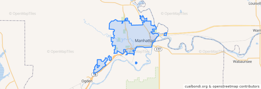
See in interactive map
Routes of public transport
Bluemont EB
Bluemont WB
Freemont/Osage EB
Freemont/Osage WB
Jardine
Orange Northbound
Orange Southbound
Stops
Derby
Jardine (Tunstall)
Kramer
Points of interest
Arrow Coffe
Pretzelmaker
Powercat Sports Grill
Capitol Federal Savings
Buffalo Wild Wings
The Goose Restaurant
Via Christi Therapy Center
Wine Dive + Ktichen
E. Hamrick Swan Family Dentistry
Navy Federal Credit Union
Manko Bike Parking
Gordo's Restaurante Mexicano
Kansas State Bank
KwikShop
Manhattan Dental
Subway
Hy-Vee Fuel
K-Stat Urgent Care
Seventh Day Adventist Church
Sylvan
Calios
The Goose
Kansas State University Police Department
Walgreens
Shell
The Lofts on Twelfth Steet
Walgreens
Radina's Coffee
Legends Sports Eats Drinks
Candlewood Veterinary Clinic