Login
Usuarios estrella
Encuesta
Inicio
>
Estados Unidos de América
>
Nevada
>
Clark County
>
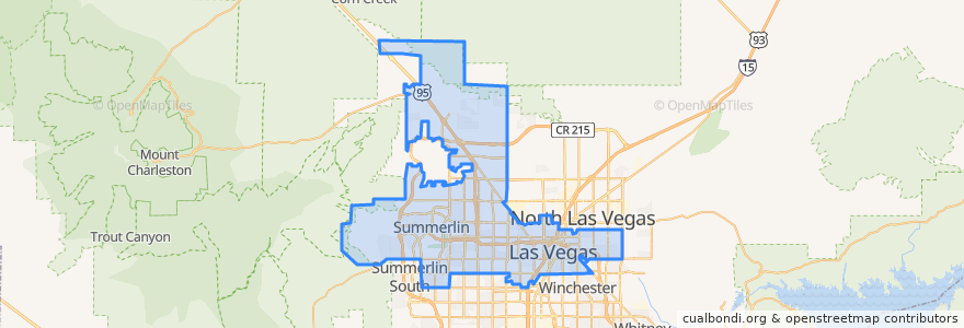
Las Vegas
Las Vegas
Ver en mapa interactivo
Recorridos de transporte público
Downtown Loop
Flixbus 2009: Las Vegas/Henderson => Los Angeles
Flixbus 2009: Las Vegas/Henderson => Los Angeles/Anaheim
Flixbus 2009: Los Angeles/Anaheim => Las Vegas/Henderson
Flixbus 2009: Los Angeles => Las Vegas/Henderson
Flixbus 2016: Las Vegas => San Diego
Flixbus 2016: San Diego => Las Vegas
Flixbus N2008: Las Vegas => San Francisco
Flixbus N2008: San Francisco => Las Vegas
RTC 219 Craig
RTC Deuce on the Strip
Paradas
Charleston
FlixBus Las Vegas Downtown
-115.15100760000001, 36.1599487
Las Vegas Blvd @ 4th St.
Las Vegas Blvd @ Hoover
4th St. @ Las Vegas Blvd.
Oakey Blvd.
19
-115.154583, 36.148201900000004
FlixBus Las Vegas Downtown
Oakey
Las Vegas @ Stratosphere (N)
Carson @ Casino Center Blvd.
Saint Louis
Garces - Transit Center
Puntos de interés
Carsen
Commonwealth
Roxy's Diner
Island Sushi & Hawaiian Grill
Uncle Joe's
Visions of Faith Church
Circle K
Florida Cafe Cuban Bar & Grill
Clark County Parking Garage
Top of The World
Tammyland
California & Main Bike Share
Kabob Korner
Checking
Boston Pizza
Comunidad Cristiana de las Vegas
Starbucks
Starbucks
Chapel of the Flowers
The box office
Nevada Parole and Probation
City of Las Vegas Fire Station Number 1
Church on the Street
Banger Brewing
RoboCoin BitCoin ATM Exchange Kiosk
Walgreens
Little Vegas Chapel
Stewart & 3rd BikeShare
Panera Bread
Hop Nuts Brewing