Login
Usuarios estrella
Encuesta
Inicio
>
Estados Unidos de América
>
Utah
>
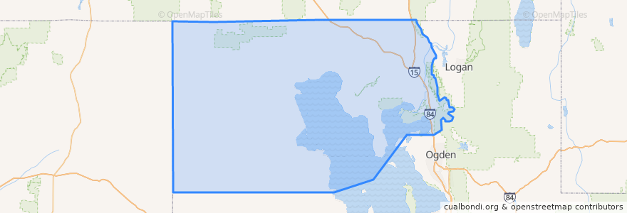
Box Elder County
Box Elder County
Ver en mapa interactivo
Recorridos de transporte público
UTA Route 630 Brigham City/Ogden (to Brigham City)
UTA Route 630 Brigham City/Ogden (to Ogden)
UTA Route F638 Brigham City/Willard Flex
Lugares
Brigham City
(3)
Perry
(2)
Willard
(2)
Bear River City
(0)
Corinne
(0)
Deweyville
(0)
Elwood
(0)
Fielding
(0)
Garland
(0)
Honeyville
(0)
Howell
(0)
Mantua
(0)
Plymouth
(0)
Portage
(0)
Snowville
(0)
Tremonton
(0)
Puntos de interés
Plymouth
The Church of Jesus Christ of Latter-day Saints
Beijing Buffet
Little Caesars
La Hermosa Assembly
Subway
Bridgerland College of Cosmetology
Willard
The Lodge
The Church of Jesus Christ of Latter-day Saints
Domino's Pizza
Elwood
The Frozen Udder
Brigham City Museum
The Church of Jesus Christ of Latter-day Saints
The Church of Jesus Christ of Latter-day Saints
Community Presbyterian Church
Bridgerland Applied Technology College
Snowville
Portage
Hunan Village
Lincoln School
Perry
First Baptist Church
VFW Post
Rose A. Young Elementary at Three Mile Creek
Tremonton
Maddox Ranch House
Smith's Fuel
The Church of Jesus Christ of Latter-day Saints