Login
Star users
Poll
Home
>
United States
>
Iowa
>
Polk County
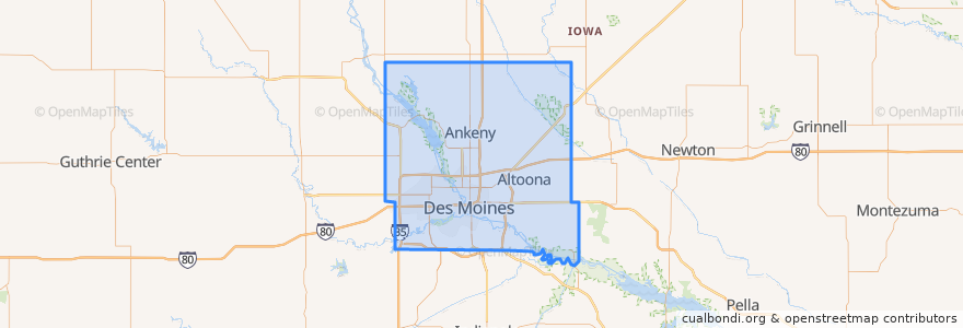
Polk County
See in interactive map
Routes of public transport
DART Flex Route 73 Urbandale/Windsor Heights Flex
DART Local Route 11 Ingersoll/Valley Junction
DART Local Route 13 Southeast Park Avenue
DART Local Route 15 6th Avenue
DART Local Route 60 Ingersoll/University
DART Shuttle Route 40 Link
DART Shuttle Route 42 D-Line Downtown Shuttle
Places
Alleman
(0)
Altoona
(0)
Ankeny
(0)
Bondurant
(0)
Elkhart
(0)
Johnston
(0)
Mitchellville
(0)
Pleasant Hill
(0)
Polk City
(0)
Runnells
(0)
Sheldahl
(0)
Windsor Heights
(0)
Stops
Platform K
Platform M
Platform H
Platform I
Points of interest
Iowa State Bank
Malo
Mercy Center for Pain Medicine
Spaghetti Works
Gateway Market Café
Olmsted Pavillion
Urbandale
The Exchange
Something Italian
Wooly's
Tonic
ML King & Ingersoll B-station
Polk County
Black Cultural Center
Centro
Altoona
Hy-Vee Pharmacy
Mount Hebron Baptist Church
United States Courthouse
Des Moines Valley Friends Church
The Gateway Church
Louie's Wine Dive
Heavenly Temple Church of God
Basilica of Saint John
UnityPoint Clinic
Windsor Heights
Orange Leaf Frozen Yogurt
Domino's Pizza
Runnells
New Hope Church of God in Christ