로그인
스타 사용자
투표
홈페이지
>
미국
>
아이오와
>
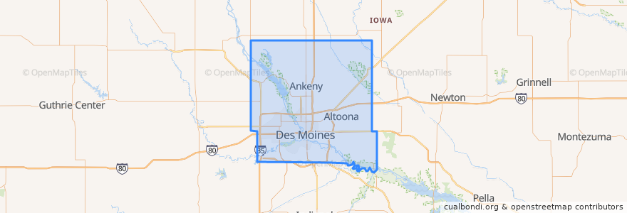
Polk County
Polk County
대화식지도에서보기
대중 교통 경로
DART Flex Route 73 Urbandale/Windsor Heights Flex
DART Local Route 11 Ingersoll/Valley Junction
DART Local Route 13 Southeast Park Avenue
DART Local Route 15 6th Avenue
DART Local Route 60 Ingersoll/University
DART Shuttle Route 40 Link
DART Shuttle Route 42 D-Line Downtown Shuttle
장소
Alleman
(0)
Altoona
(0)
Ankeny
(0)
Bondurant
(0)
Elkhart
(0)
Johnston
(0)
Mitchellville
(0)
Pleasant Hill
(0)
Polk City
(0)
Runnells
(0)
Sheldahl
(0)
Windsor Heights
(0)
버스 정류장
Platform H
Platform M
Platform K
Platform I
가볼만한 곳
Legends American Grill
Ritual Cafe
Mitchellville
Friedrichs Coffee
Panchero's
Wifvat Plaza Sundial
Smokey D's BBQ
Hy-Vee Pharmacy
The Lift
Premier Credit Union
Something Italian
Urbandale
Court Avenue Brewing Company
Orange Leaf Frozen Yogurt
Heavenly Temple Church of God
Evergreen Church of Christ
Our Savior's Full Gospel Church
Corinthian Baptist Church
Central Lutheran Church
Chicago Dog and Deli
Orange Leaf Frozen Yogurt
Baskin-Robbins
Mars Cafe
Indianola Heights Christian Church
Restoration Misistries
Alba
The Exchange
Des Moines Valley Friends Church
Java Joe's
10th Street Parkade