Login
Star users
Poll
Home
>
United States
>
Iowa
>
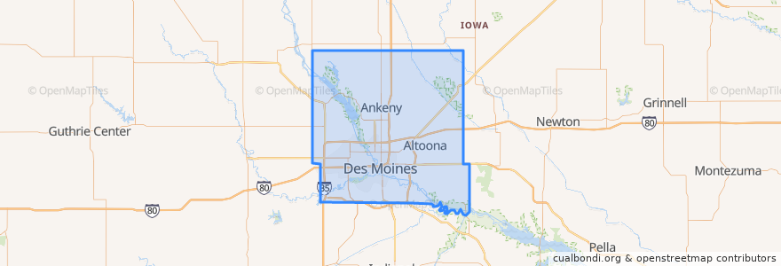
Polk County
Polk County
See in interactive map
Routes of public transport
DART Flex Route 73 Urbandale/Windsor Heights Flex
DART Local Route 11 Ingersoll/Valley Junction
DART Local Route 13 Southeast Park Avenue
DART Local Route 15 6th Avenue
DART Local Route 60 Ingersoll/University
DART Shuttle Route 40 Link
DART Shuttle Route 42 D-Line Downtown Shuttle
Places
Alleman
(0)
Altoona
(0)
Ankeny
(0)
Bondurant
(0)
Elkhart
(0)
Johnston
(0)
Mitchellville
(0)
Pleasant Hill
(0)
Polk City
(0)
Runnells
(0)
Sheldahl
(0)
Windsor Heights
(0)
Stops
Platform M
Platform K
Platform H
Platform I
Points of interest
Dairy Queen
Splash Seafood Bar & Grill
Iowa Baptist Mission
Shorty's
Indianola Heights Christian Church
Legends American Grill
Subway
Wifvat Plaza Sundial
Alba
Altoona
Burger King
Nut Pob
Firehouse Subs
Hoshi Sushi
Akebono
Chuck's
Gateway Market Café
Burns United Methodist Church
Zombie Burger & Drink Lab
Java Joe's
Barcadium
Alleman
Price Chopper Pharmacy
Paula's Cafe
Carl's Place
Bank of the West
The Ridgemont
Cambodian Buddhist Society
Evergreen Church of Christ
Mickey Finn's