Accesso
Utenti preferiti
Sondaggio
Homepage
>
Stati Uniti d'America
>
Iowa
>
Polk County
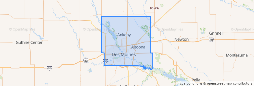
Polk County
Visualizza nella mappa interattiva
Percorsi di trasporto pubblico
DART Flex Route 73 Urbandale/Windsor Heights Flex
DART Local Route 11 Ingersoll/Valley Junction
DART Local Route 13 Southeast Park Avenue
DART Local Route 15 6th Avenue
DART Local Route 60 Ingersoll/University
DART Shuttle Route 40 Link
DART Shuttle Route 42 D-Line Downtown Shuttle
Posti
Alleman
(0)
Altoona
(0)
Ankeny
(0)
Bondurant
(0)
Elkhart
(0)
Johnston
(0)
Mitchellville
(0)
Pleasant Hill
(0)
Polk City
(0)
Runnells
(0)
Sheldahl
(0)
Windsor Heights
(0)
Fermate
Platform I
Platform K
Platform H
Platform M
Punti di interesse
Cornerstone Community Credit Union
Watlao Buddhavath
Haiku
Dart Central Station B-station
Heartland Animal Hospital
Centro
The Riverwalk Hub
Jokers
Sheslow Auditorium
Central Lutheran Church
Burger King
Bicycle Rental
Altoona
Nut Pob
Scooter's
Clive
Bank of the West
Hy-Vee Pharmacy
United States Courthouse
Truth Seekers Bible Temple
Shorty's
Veridian Credit Union
Dos Rios
UnityPoint Clinic
Simon Estes Amphitheater
Panera Bread
Domino's Pizza
Cheese Bar
Sabin School
Orange Leaf Frozen Yogurt