Ouverture de session
Utilisateurs étoile
Sondage
Accueil
>
États-Unis d'Amérique
>
Iowa
>
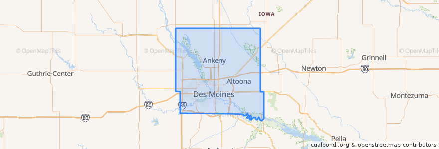
Polk County
Polk County
Voir sur la carte interactive
Itinéraires des transports publics
DART Flex Route 73 Urbandale/Windsor Heights Flex
DART Local Route 11 Ingersoll/Valley Junction
DART Local Route 13 Southeast Park Avenue
DART Local Route 15 6th Avenue
DART Local Route 60 Ingersoll/University
DART Shuttle Route 40 Link
DART Shuttle Route 42 D-Line Downtown Shuttle
Endroits
Alleman
(0)
Altoona
(0)
Ankeny
(0)
Bondurant
(0)
Elkhart
(0)
Johnston
(0)
Mitchellville
(0)
Pleasant Hill
(0)
Polk City
(0)
Runnells
(0)
Sheldahl
(0)
Windsor Heights
(0)
Arrêts
Platform I
Platform H
Platform M
Platform K
Points d'interêts
Wifvat Plaza Sundial
Sheslow Auditorium
Hammer Pharmacy
The Levee on Court
Walgreens
First Lutheran Church
Papa Murphy's
Des Moines Valley Friends Church
Proof
Pleasant Hill
Polk County
Pita Pit
Tacos Mariana's
Ritual Cafe
Suzy Q's Lounge
QuikTrip
Gusto Pizza Company
Django
Wilson Alexander Scott Grave
Qdoba
UnityPoint Clinic
Brenton Skating Plaza B-station
Cici's Pizza
Chuck's
Starbucks
Orange Leaf Frozen Yogurt
Sarpino's Pizzeria
Dart Central Station B-station
Mission Temple
Little Caesars