Anmelden
Star-Benutzer
Umfrage
Startseite
>
Vereinigte Staaten von Amerika
>
Iowa
>
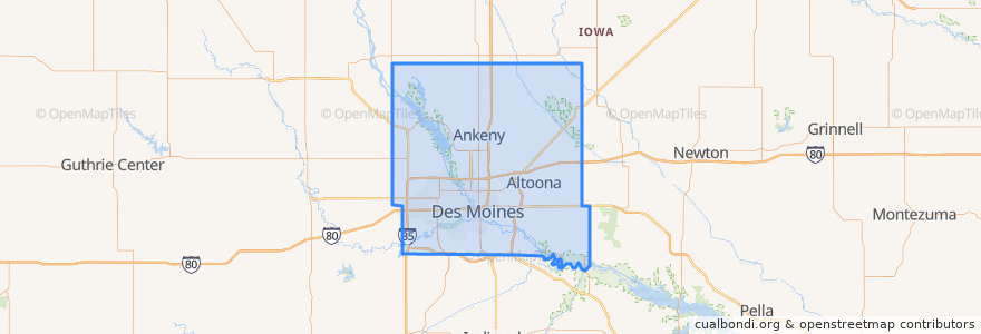
Polk County
Polk County
Siehe in der interaktiven Karte
Routen des öffentlichen Verkehrs
DART Flex Route 73 Urbandale/Windsor Heights Flex
DART Local Route 11 Ingersoll/Valley Junction
DART Local Route 13 Southeast Park Avenue
DART Local Route 15 6th Avenue
DART Local Route 60 Ingersoll/University
DART Shuttle Route 40 Link
DART Shuttle Route 42 D-Line Downtown Shuttle
Orte
Alleman
(0)
Altoona
(0)
Ankeny
(0)
Bondurant
(0)
Elkhart
(0)
Johnston
(0)
Mitchellville
(0)
Pleasant Hill
(0)
Polk City
(0)
Runnells
(0)
Sheldahl
(0)
Windsor Heights
(0)
Haltestellen
Platform K
Platform I
Platform M
Platform H
Sehenswürdigkeiten
Elkhart
Seventh Day Adventist Church
Mission Temple
Hessen Haus
Chuck's
Alleman
First Lutheran Church
Starbucks
Whole Health Chiropractic
Truth Seekers Bible Temple
New Hope Church of God in Christ
Basilica of Saint John
Mount Hebron Baptist Church
Pleasant Hill
Subway
Iowa State Bank
Commerce Community Church
West Des Moines
Walnut Creek Church - Downtown
Our Savior's Full Gospel Church
Indianola Heights Christian Church
Clive
Bankers Trust
Louie's Wine Dive
Dart Central Station B-station
Cornerstone Community Credit Union
Brecks
Jimmy John's
Alba
Hy-Vee Gas