Log masuk
Pengguna bintang
Undian
Laman utama
>
Amerika Syarikat
>
Iowa
>
Polk County
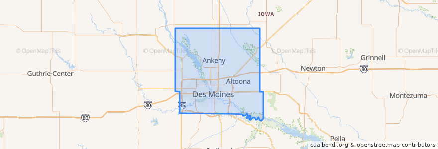
Polk County
Lihat di peta interaktif
Laluan pengangkutan awam
DART Flex Route 73 Urbandale/Windsor Heights Flex
DART Local Route 11 Ingersoll/Valley Junction
DART Local Route 13 Southeast Park Avenue
DART Local Route 15 6th Avenue
DART Local Route 60 Ingersoll/University
DART Shuttle Route 40 Link
DART Shuttle Route 42 D-Line Downtown Shuttle
Tempat
Alleman
(0)
Altoona
(0)
Ankeny
(0)
Bondurant
(0)
Elkhart
(0)
Johnston
(0)
Mitchellville
(0)
Pleasant Hill
(0)
Polk City
(0)
Runnells
(0)
Sheldahl
(0)
Windsor Heights
(0)
Perhentian
Platform M
Platform K
Platform I
Platform H
Tempat menarik
Mark Essy DDS
Heartland Animal Hospital
Americana
Hong Kong Chinese Restaurant
Up-Down
Bruegger's Bagel Bakery
Papa Murphy's
Fighting Burrito
Tacos Mariana's
Django
Royal Mile
Mickey Finn's
Des Moines Valley Friends Church
Haiku
Saint Johns School
Louie's Wine Dive
Olmsted Pavillion
Calvary Baptist Church
The Exchange
Grimes
The Riverwalk Hub
Windsor Heights
Spaghetti Works
Wifvat Plaza Sundial
Planned Parenthood
Buffalo Wild Wings
Heavenly Temple Church of God
Paula's Cafe
Commerce Community Church
New Hope Church of God in Christ